Guide
How to find your USDA plant hardiness zone
ZIP estimates, street lookup, and why half-zones matter.
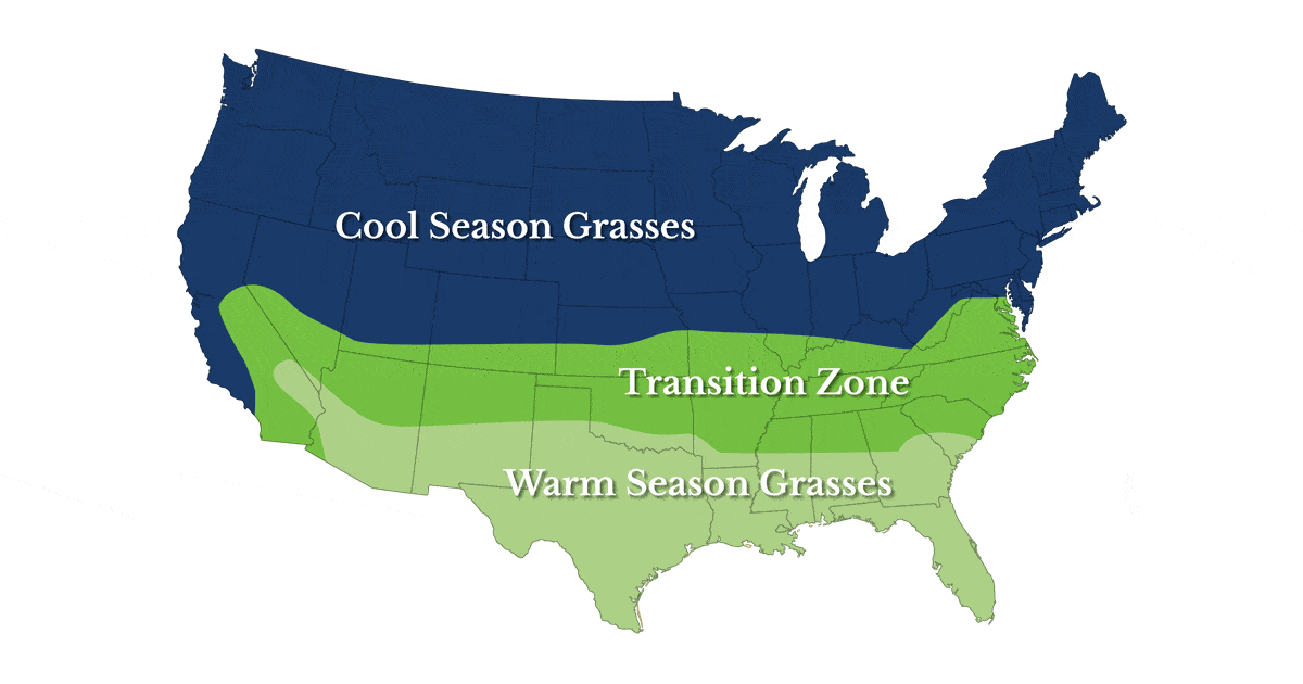
USDA plant hardiness zones describe the average annual extreme minimum temperature for an area. They’re not frost calendars or growing-season length—but they’re still useful for picking plants and comparing timing with neighbors and extension guides.
Where GrassGuidePro gets your zone
- ZIP prefix: fast, coarse estimate—good when you don’t want to share an address.
- Street + ZIP lookup (US): uses a typical state-level planting zone tied to your street line—better when elevation or metro heat islands matter.
- Manual half-zone (e.g. 7b): override when you know your yard runs colder or warmer than the ZIP band.
Hemisphere
Zone labels remain a cold-hardiness reference worldwide. Hemisphere toggles how we interpret peak lawn growth months on your charts—southern lawns often shift calendar emphasis even though the axis still reads Jan–Dec.
Always confirm critical timing (pre-emergent, seeding) with soil temperature, product labels, and local extension—not ZIP alone.